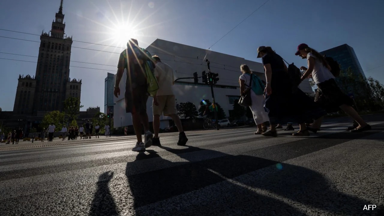
Picture this. It is mid-afternoon in July, and the sun is beating down on the city pavement. The air feels thick, heavy, and hot. You need to walk ten blocks to get home. You pull out your phone, open your default maps app, and hit navigate. It gives you the absolute fastest route.
The problem? That route takes you straight down a wide, treeless boulevard paved with dark asphalt and lined with glass buildings. It is a literal furnace. The pavement radiates stored heat back up at you, and there is not a single patch of shade in sight. By the time you arrive, you are drenched in sweat, dizzy, and exhausted. In related developments, read about: Why The Uk Investigation To Determine If Tiktok Fails To Protect Children From Harmful Content Is A Critical Moment For Online Safety.
Standard navigation tools are designed for speed, not human survival. They do not care if you bake in the sun. But as heatwaves become longer, hotter, and more frequent across the globe, we have to change how we move through our cities.
A clever open-source initiative in Germany is changing the narrative. By mapping shaded walking routes, researchers have created a blueprint for how technology can protect vulnerable citizens from dangerous urban heat. TechCrunch has provided coverage on this important topic in extensive detail.
The Danger of the Modern Urban Heat Island
To understand why we need shaded routing, you have to look at how modern cities are built. Concrete, brick, and asphalt absorb massive amounts of solar radiation during the day and release it slowly. This is the urban heat island effect. It keeps cities several degrees warmer than nearby rural areas, even long after the sun goes down.
When you walk through an overheated city center, air temperature is only one part of the equation. Your body also absorbs direct radiation from the sun and reflected radiation from buildings and roads. Scientists measure this combined heat load using a metric called mean radiant temperature (MRT).
Step out of the direct sun and into the shade, and your thermal comfort changes instantly. Walking under a dense tree canopy or in the shadow of a tall building can reduce the heat load on your body by up to 50%. Shade is not just a comfort preference. For a senior citizen, a toddler, or someone with a heart condition, finding a shaded path is a matter of basic health and safety.
How Germany Built a Heat Stress Navigation Tool
The technology helping pedestrians escape the heat began as a research endeavor in Heidelberg. The Heat Adaptation for Vulnerable Population Groups (HEAL) project was launched as a collaborative effort between the Heidelberg Institute for Geoinformation Technology (HeiGIT), the GIScience Research Group, and Heidelberg University.
At first, the researchers relied on physical weather sensors scattered across Heidelberg to measure temperature and shade in real time. While this provided incredibly accurate localized data, it was impossible to scale. Installing and maintaining hundreds of physical sensors in every city is simply too expensive for local governments.
To solve this scaling bottleneck, the developers rebuilt their system from the ground up. They ditched the physical sensors and moved to a purely geodata-based shadow modeling approach.
By using three primary data sources, the app calculates exactly where shadows fall at any given hour of the day:
- Digital Surface Models (DSM): These high-resolution models record the exact heights of buildings, trees, and other structures above the ground.
- Digital Terrain Models (DTM): These map the natural elevation and contours of the earth's surface.
- OpenStreetMap (OSM): This open-source mapping database provides the layout of pedestrian paths, streets, and sidewalks.
With these ingredients, the app calculates the sun's precise position—its azimuth and elevation—for every month from May through August. It breaks the day down into critical intervals like 9 AM, 12 PM, 3 PM, and 6 PM. It then projects virtual shadows across the street network.
Each street segment is assigned a specific solar exposure index. When you search for a route, the underlying engine—built on HeiGIT's open-source routing software—skews the path selection. It actively avoids high-exposure areas and guides you through parks, narrow shaded alleys, and tree-lined side streets.
Scaling Urban Coolness Across Eighty Cities
What started as a hyper-local test in Heidelberg and the nearby town of Worms has officially expanded. The developers optimized their processing pipeline using modern data orchestration tools. Because the shadow calculations are pre-computed rather than rendered on demand, the app loads fast on any basic smartphone.
The tool, accessible at shaded.openrouteservice.org, now supports all 80 major German cities (Großstädte).
This means a commuter in Munich, Berlin, or Cologne can instantly pull up the site and find the shadiest walking path home. The app even lets users adjust how heavily they want to prioritize shade over speed. If you are in a rush, you can choose a route with decent shade that only adds a minute or two to your trip. If it is blistering hot, you can crank the settings up to maximize shade, even if it takes a bit longer.
Lessons from Other Global Shaded Mapping Projects
Germany's tool is incredibly impressive, but other cities are experimenting with similar ideas to protect their citizens.
Barcelona launched an experimental tool called Cool Walks. It used high-resolution Lidar data to calculate shade down to a 10-centimeter resolution. The development team even included a playful "vampire mode" designed to completely avoid direct sunlight, guiding users exclusively through deep shadows and covered passages. Cool Walks also highlighted the locations of free public drinking fountains and climate shelters where citizens could rest in air-conditioned spaces.
In the United States, researchers at Arizona State University developed Cool Routes, a tool mapped specifically for the sprawling Tempe campus. Sprawl and a lack of mature tree cover make Phoenix-area heat especially brutal. The ASU project aimed to prove that routing based on radiant heat load could keep students and faculty safe while walking between classes.
Why Urban Planners Love the Shaded Routing Concept
The beauty of these mapping tools is that they serve a dual purpose. They do not just help individuals avoid heatstroke on their afternoon walk; they also expose structural flaws in our cities.
When developers run routing simulations across a city, they quickly identify "heat islands of isolation"—neighborhoods where it is mathematically impossible to find a shaded path. Often, these correspond directly to lower-income areas with fewer public parks and less street-tree canopy.
By visualizing these gaps, city councils and urban planners get a highly accurate, data-driven map showing exactly where to plant trees, install shade sails, or build covered walkways. Instead of guessing where green infrastructure is needed, cities can target the exact streets where pedestrians are most exposed.
Build Your Own Personal Heat Survival Strategy
While we wait for standard apps like Google Maps or Apple Maps to integrate this dynamic shadow data worldwide, you do not have to walk blind. You can adapt your daily habits to stay cool.
- Audit your routine routes: Take a few extra minutes on a cooler morning to scout alternative walking paths. Look for side streets with mature trees, historic buildings that cast wide afternoon shadows, or public parks.
- Use the building canopy: Remember that the sun always rises in the east and sets in the west. In the afternoon, the east-facing side of a street will generally fall into the shadow of its buildings first. Walk on the shady side, even if it means crossing the street an extra time.
- Carry portable shade: Do not underestimate the power of a simple, UV-blocking umbrella or sun parasol. It mimics the thermal benefits of tree shade, lowering your personal radiant heat load wherever you walk.
- Bookmark open-source tools: If you live in or travel to Germany, keep
shaded.openrouteservice.orgsaved on your phone's home screen for quick access during summer trips.
We cannot stop summer heatwaves from happening, but we can stop treating urban walking routes as a one-size-fits-all equation. Finding the shade is no longer just about comfort. It is about staying safe in a warming world.